Acres of Uncertainty: How Fragmented Soil Data Is Costing American Farmers Billions in Carbon Market Access
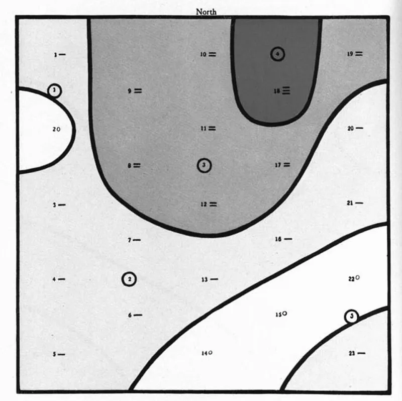
Photo: Linsley, Clyde Maurice; Bauer, Frederick Charles, Public domain, via Wikimedia Commons
Beneath the surface of nearly every cultivated field in the United States lies a carbon story that has never been fully told. Soil organic carbon — the residue of decomposed plant matter, microbial activity, and centuries of biological exchange — is both a measure of agricultural land health and a potential commodity in the growing voluntary carbon market. Yet for most American farmers, that story remains inaccessible, not because the science is absent, but because the data infrastructure to read it coherently does not yet exist.
The problem is fundamentally geographic. Soil carbon monitoring in the United States is distributed across a patchwork of federal agencies, university research programs, private carbon market platforms, and state agricultural extension services — each collecting measurements using different methodologies, sampling depths, spatial resolutions, and reporting intervals. The result is a fragmented mosaic of information that resists integration and, in doing so, obscures the true climate potential of American agricultural land.
A Map That Cannot See Itself
The USDA's Natural Resources Conservation Service maintains the most comprehensive national soil database in existence — the Web Soil Survey — but its spatial resolution and update frequency were designed for land classification, not carbon accounting. Meanwhile, private carbon market operators such as Indigo Ag, Nori, and Corteva's Carbon program have developed their own proprietary sampling protocols, creating islands of high-resolution data that are commercially siloed and geographically inconsistent.
At the same time, the USDA's own Agricultural Research Service operates the Long-Term Agroecosystem Research network, generating some of the most rigorous soil carbon time-series data in the country — yet that network covers fewer than two dozen sites nationally, leaving vast agricultural regions effectively unmapped at any meaningful temporal scale.
What GIS science makes immediately apparent is the consequence of this fragmentation: when soil carbon data layers are overlaid spatially, the coverage gaps are not random. They cluster along predictable fault lines — lower-income farming counties, regions dominated by smaller operations, and areas historically underserved by federal conservation programs. The farmers with the least institutional support are, almost uniformly, the ones with the least data.
Where Integration Is Already Working
A small number of regional initiatives demonstrate what becomes possible when soil carbon data is brought into a unified spatial framework. In the Midwest, partnerships between university extension programs and state conservation agencies have begun assembling harmonized soil organic matter datasets that allow county-level carbon stock mapping at resolutions meaningful for individual farm planning. In Iowa and Illinois, these integrated layers have been used to identify which farms are already sequestering carbon at rates that would qualify for offset certification under leading voluntary market standards — and which management practices are driving those outcomes.
In the Pacific Northwest, collaborative work between tribal nations, federal land managers, and conservation GIS practitioners has produced composite soil health maps that incorporate both scientific monitoring data and traditional ecological knowledge about land management history. These maps have been used not only for carbon market prospecting but for broader restoration planning — demonstrating that soil carbon mapping, when done comprehensively, serves multiple conservation objectives simultaneously.
The technical architecture enabling these successes is not exotic. It relies on standardized data exchange protocols, shared coordinate reference systems, and open-access spatial platforms — tools that are broadly available but inconsistently applied. The constraint is not technological capacity; it is institutional will and policy alignment.
The Policy Architecture Blocking Scale
Several structural barriers prevent these regional successes from scaling nationally. First, there is no federal mandate for soil carbon data interoperability. Agencies collect what their program missions require, and those missions were not designed with carbon market access in mind. The NRCS, the EPA, the Department of Energy's terrestrial carbon research programs, and the USDA's Economic Research Service all generate spatially relevant soil and land use data — but none are required to publish it in formats that allow seamless GIS integration across agency boundaries.
Second, the voluntary carbon market itself has not yet converged on spatial data standards. Different market registries accept different sampling methodologies, model different baseline scenarios, and apply different additionality tests — making it difficult to build a single geospatial framework that can serve as a universal qualification layer. Farmers navigating this landscape face not just a data problem but a credentialing maze.
Third, the cost of soil sampling remains a significant barrier for smaller operations. High-resolution carbon stock verification requires physical soil cores, laboratory analysis, and repeated measurement over time — expenses that frequently exceed the near-term value of the credits generated, particularly for farms under a few hundred acres. Without spatially targeted sampling strategies guided by predictive GIS models, the cost structure of carbon market participation systematically excludes the family farms that make up the majority of American agricultural operations by number.
The Case for a National Soil Carbon Spatial Framework
Conservation scientists and agricultural economists have increasingly converged on a common prescription: the United States needs a federated, open-access soil carbon spatial data infrastructure — one that harmonizes existing agency datasets, establishes interoperability standards for new data collection, and makes high-resolution predictive carbon mapping available to farmers, market operators, and policymakers alike.
Such a framework would not require building from scratch. The USDA's Soil and Plant Science Division, the National Ecological Observatory Network, and existing state agricultural data cooperatives have collectively assembled the raw ingredients. What is missing is the integrative layer — a GIS-anchored data commons that translates these disparate inputs into a coherent national picture.
The conservation implications of building that infrastructure extend well beyond carbon markets. Soil organic carbon is a proxy for broader land health: soils that are sequestering carbon are typically also retaining water more effectively, supporting greater microbial diversity, and resisting erosion. A national soil carbon map would, in effect, be a national land stewardship map — one that could inform conservation program targeting, agricultural resilience planning, and climate adaptation strategy simultaneously.
The Stakes of Inaction
The voluntary carbon market for agricultural soils is projected to grow substantially over the coming decade, driven by corporate net-zero commitments and increasing regulatory interest in nature-based climate solutions. If the data infrastructure problem is not resolved, the distribution of that market's benefits will follow the existing geography of data availability — concentrating value among large, well-capitalized operations in regions with strong institutional support, while leaving smaller farmers and underserved agricultural communities on the outside.
GIS science has the tools to prevent that outcome. Spatial analysis can identify where sampling investments will generate the greatest informational return, which farms are most likely to qualify for carbon credits under current market standards, and how management practice changes would alter sequestration trajectories over time. But those tools require coherent, integrated data to function — and coherent, integrated data requires a policy commitment that has not yet materialized.
The carbon beneath American farmland is real. The market for it is growing. The science to measure and map it exists. What remains is the institutional decision to connect them.