Beneath the Fairways: Tracing Suburbia's Buried Wetlands Through Historical Map Overlays
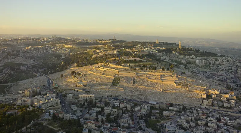
Photo: Godot13, CC BY-SA 4.0, via Wikimedia Commons
The manicured turf of an American golf course appears, at first glance, to be the opposite of a wetland. The ground is graded for drainage, the water features are engineered for aesthetics, and the vegetation is selected, irrigated, and chemically maintained. Yet when researchers at the Conservation GIS Center began overlaying historical wetland surveys onto contemporary land cover data, a striking pattern emerged: a substantial share of the nation's golf courses, memorial parks, and landscaped industrial campuses sit directly atop wetlands that were drained or filled decades ago.
Reading the Historical Record
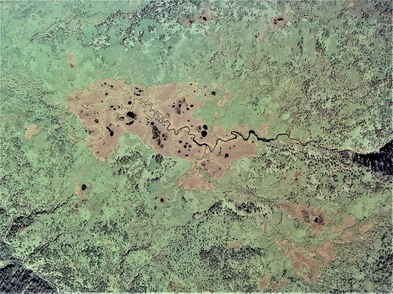
The investigation began with digitized versions of mid-twentieth-century National Wetlands Inventory predecessors—county-level surveys, soil maps indicating hydric soils, and aerial photography from the 1930s through 1950s. These sources, georeferenced and layered beneath modern National Land Cover Database classifications, allow analysts to ask a deceptively simple question: where do today's large, low-intensity green spaces coincide with yesterday's mapped wetlands?
The answer, aggregated across sample metropolitan regions in the Midwest, Southeast, and Pacific Northwest, is consistent. Wetlands were preferentially converted to land uses that could tolerate or disguise wet soils—recreational turf, burial grounds, stormwater ponds framed by office parks. These land uses share a common profile: large contiguous parcels, low impervious coverage relative to residential development, and ownership structures that change infrequently. In other words, the exact conditions under which buried wetland hydrology might survive, dormant, beneath the surface.
Why the Ghosts Persist
Hydric soils do not forget. Even after decades of tiling, ditching, and fill, the underlying clay lenses, perched water tables, and seed banks of a former wetland frequently remain intact. Field studies of restored sites have repeatedly documented rapid recolonization when hydrology is reestablished—sometimes within a single growing season.
This is what makes the overlay analysis more than an exercise in historical curiosity. Golf courses in particular face intensifying financial and regulatory pressure: water restrictions in the arid West, nutrient runoff scrutiny in the Chesapeake watershed, declining rounds played in many markets. A subset of these properties may find that partial rewetting—converting marginal turf into emergent marsh, wet meadow, or forested buffer—solves several problems at once, reducing irrigation demand while generating creditable flood storage and habitat value.
Ranking the Candidates
Not every buried wetland is a good restoration prospect, and this is where GIS earns its keep. The Center's screening model scores candidate parcels on four criteria: the strength of historical wetland evidence (multiple corroborating sources score highest); the integrity of the contributing watershed, since a rehydrated wetland fed by a paved catchment becomes a pollution sink rather than a sponge; current land use intensity and ownership permanence; and proximity to existing habitat corridors that restoration could reconnect.
Applied to a pilot set of counties in Ohio, Florida, and Washington, the model surfaces a shortlist of high-scoring sites—typically older courses built on former prairie potholes or riverine bottomlands, and cemeteries whose perpetual-care ownership guarantees the land will still be there in a century.
From Overlay to Opportunity
The deeper finding is about memory and loss. National wetland loss statistics count acres converted, but they rarely ask what became of the converted land. By pairing the historical record with the present-day map, spatial science restores a missing chapter to the American landscape story—and identifies, parcel by parcel, where the story might be revised. The wetlands beneath the fairways are gone, but on a meaningful fraction of the map, they are not beyond recall.