Fallow by Default: How Multispectral Imaging Is Uncovering the Silent Retreat of American Agriculture
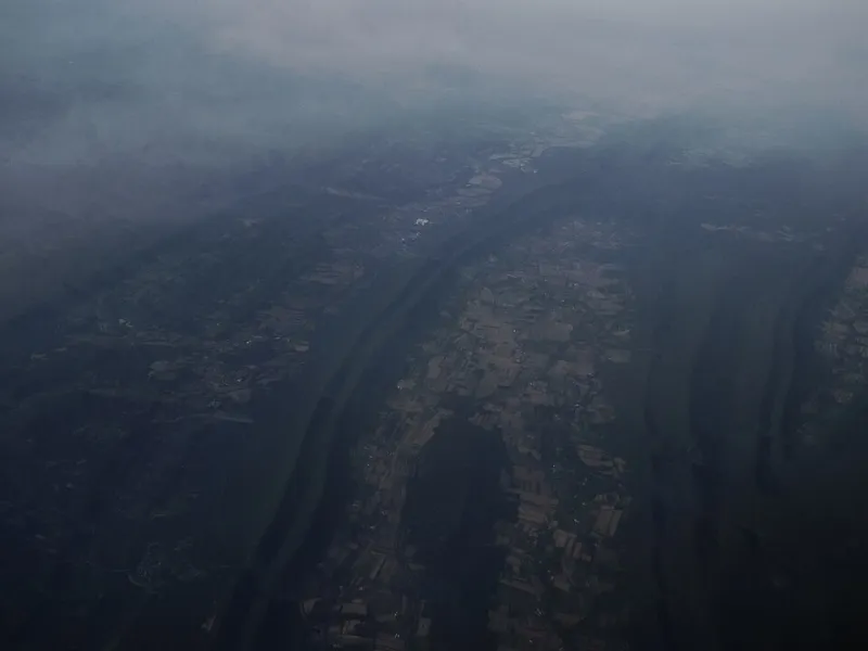
Photo: Ken Lund from Reno, Nevada, USA, CC BY-SA 2.0, via Wikimedia Commons
The American agricultural map has long been treated as a fixed document—a settled arrangement of fields, ownership parcels, and commodity production stretching from the Corn Belt to the Central Valley. But that map is increasingly inaccurate. Beneath the official narrative of farm consolidation and expanding production, a quieter story is unfolding: millions of acres of previously cultivated land have been abandoned, left to the slow processes of ecological succession while remaining technically held in private hands. For decades, this phenomenon occurred largely beyond the reach of systematic documentation. Now, geospatial science is changing that.
Using multispectral satellite imagery analyzed through GIS time-series frameworks, researchers are beginning to construct the first coherent spatial picture of cropland abandonment at a national scale. What they are finding challenges assumptions embedded in agricultural policy, conservation planning, and land management alike.
The Spectral Signature of Abandonment
Multispectral remote sensing operates by detecting reflected light across multiple wavelength bands—including wavelengths invisible to the human eye. Healthy, actively managed cropland produces a distinctive spectral signature: regular planting cycles, consistent canopy structure, and the chemical reflectance patterns associated with cultivated soil and commercial crop species. Abandoned land tells a fundamentally different story.
As fields fall out of production, their spectral profiles shift. Bare agricultural soil gives way to opportunistic annual weeds, followed by perennial grasses, shrubs, and eventually woody vegetation. Each successional stage carries its own reflectance pattern, and when analysts layer these signatures across years or decades of satellite imagery, the trajectory of abandonment becomes legible in ways that ground-level surveys could never efficiently capture.
Researchers working with Landsat archives—which extend back to the early 1970s—have demonstrated that time-series analysis of normalized difference vegetation index values, combined with land surface texture metrics and phenological pattern recognition, can reliably distinguish abandoned cropland from actively managed fields, even when both appear vegetated to casual observation. The technique is not perfect, but its scalability is transformative. Areas that would require years of field verification can be flagged, classified, and mapped in a fraction of the time.
What the Data Is Revealing
The geographic distribution of abandoned agricultural land in the United States is neither random nor uniform. Emerging analyses point to pronounced concentrations in specific regions: the Great Plains, where decades of groundwater depletion and commodity price volatility have rendered marginal dryland farming economically untenable; Appalachian counties, where steep terrain, fragmented ownership, and rural population decline have accelerated withdrawal from cultivation; and portions of the Mississippi Delta and Southeast, where drainage infrastructure has deteriorated and absentee ownership has allowed fields to revert without deliberate decision.
In many of these areas, the abandonment is not recent. Time-series analysis reveals that some parcels have not shown active cultivation signatures in twenty, thirty, or even forty years. They persist in county assessor records as agricultural land, continue to receive agricultural property tax classifications in some states, and remain legally owned by families or holding entities that may have lost direct connection to the land entirely. The ecological reality and the administrative record have diverged substantially.
Estimates of the total area affected vary depending on methodology and definitional thresholds, but several peer-reviewed studies have placed the cumulative figure in the range of tens of millions of acres when marginal, semi-abandoned, and fully reverted parcels are included. That figure represents a landscape-scale transition that has received remarkably little formal policy attention.
Conservation Opportunity in Legal Limbo
From a conservation standpoint, the ecological trajectory of these lands is often encouraging. Spontaneous succession, even without active restoration investment, can restore meaningful habitat function. Grassland bird species that have experienced severe range contractions—including the bobolink, the dickcissel, and several sparrow species—show documented use of early-succession abandoned fields. In forested regions, reverting cropland can expand contiguous canopy cover and reduce edge-to-interior ratios in ways that benefit area-sensitive wildlife.
GIS connectivity analysis has proven particularly useful in evaluating these opportunities. When abandoned parcels are mapped against existing protected areas, wildlife movement corridors, and known habitat patches, spatial modeling can identify which reverted fields occupy strategically significant positions in the broader landscape network. A single abandoned farm situated between two conservation parcels may represent a more valuable acquisition target than a larger parcel elsewhere in the same county. Geospatial prioritization makes these distinctions possible.
Yet the legal landscape surrounding these properties is genuinely complicated. Many abandoned agricultural parcels carry unresolved ownership questions—heirs' property disputes, tax delinquency proceedings, fractional ownership among multiple family members, or corporate holding structures that obscure accountability. Conservation organizations seeking to acquire or place easements on reverting cropland frequently encounter title complications that can stall or defeat transactions entirely. In some rural counties, the administrative infrastructure for resolving these disputes is itself underfunded and overwhelmed.
The Policy Gap
Federal agricultural and conservation programs have been slow to adapt to the realities that spatial analysis is now documenting. The Conservation Reserve Program, which compensates landowners for removing environmentally sensitive cropland from production, requires active enrollment and ongoing landowner engagement. It was not designed for land that has already effectively exited production through neglect or economic abandonment—land where there may be no engaged landowner to contact.
Similarly, conservation easement programs administered through the Natural Resources Conservation Service operate through voluntary landowner participation. They function well where ownership is clear and landowners are motivated. They struggle in the fragmented, legally ambiguous landscape that multispectral analysis is now revealing at scale.
Some researchers and land trust practitioners have begun advocating for new programmatic mechanisms—acquisition pathways designed specifically for tax-delinquent or heirs' property parcels with conservation value, or GIS-driven targeting systems that would allow state and county agencies to prioritize resolution of ownership disputes on ecologically significant lands. Several states have begun piloting approaches along these lines, though national coordination remains limited.
Reading the Land From Above
There is something instructive about the fact that the clearest view of America's agricultural retreat comes not from ground-level observation but from sensors orbiting hundreds of miles above the surface. The abandonment process has been gradual enough, and geographically dispersed enough, that it has largely escaped the notice of policy systems oriented toward active, visible land use change. A field that quietly stops being planted does not generate a permit application, an environmental review, or a news story.
Geospatial science supplies the longitudinal, spatially comprehensive perspective that human-scale observation cannot. By reading spectral histories written across decades of satellite data, researchers are recovering a record of landscape change that was always happening but never formally seen.
The question now is whether the institutions responsible for land management and conservation policy can respond with the same spatial sophistication that the science is beginning to provide. The acres are already reverting. The ecological processes are already underway. What remains to be determined is whether those transitions will be recognized, supported, and strategically integrated into the conservation landscape—or whether they will continue to accumulate in administrative silence, mapped only by light.