Investigative Science
Wired for Disruption: The Quiet Fragmentation of America's Forests by Transmission Line Corridors
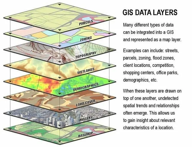
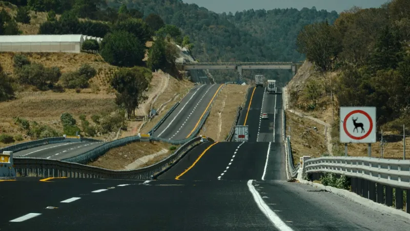
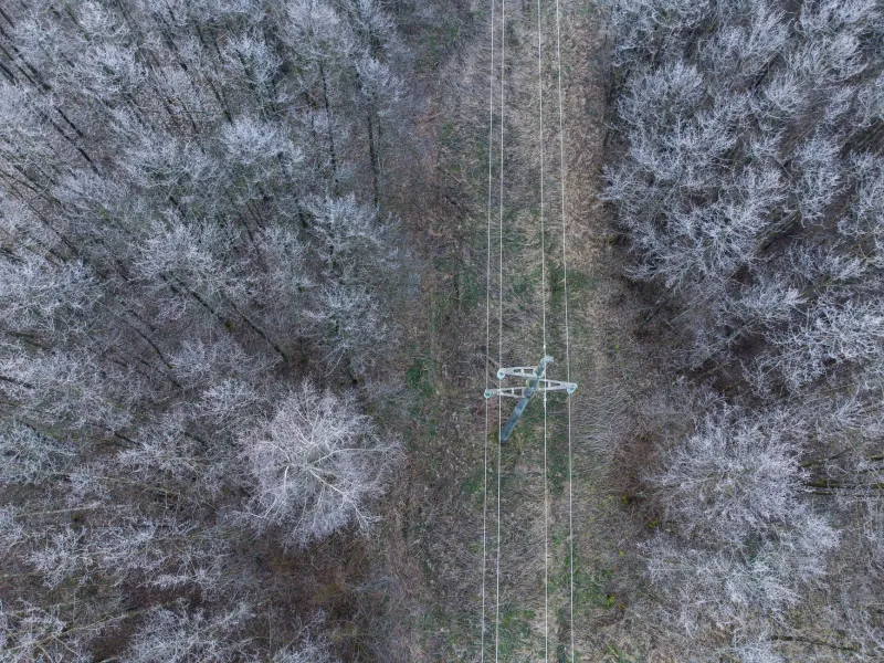
While highways and roads dominate public conversation about habitat fragmentation, spatial analysis reveals that electrical transmission corridors may be carving up America's interior forests at an even greater cumulative scale. GIS mapping of power infrastructure against wildlife movement zones exposes a linear disturbance network that conservation science has largely left unexamined. The data suggests that energy infrastructure deserves far more rigorous scrutiny than it currently receives in